

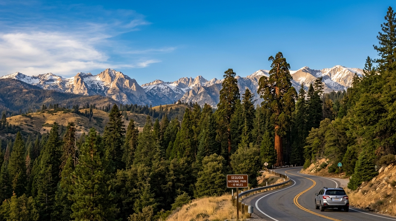
Making the journey from Fresno to Sequoia National Park offers travelers one of the quickest and most scenic mountain transitions in California. Starting your drive in Fresno places you right at the doorstep of the Sierra Nevada foothills without the grueling, all-day commute required from coastal hubs like San Francisco or Los Angeles. Navigating California State Route 180 directly connects urban convenience with towering ancient forests in a remarkably short window. Understanding local milestones, winding elevation gains, and seasonal mountain rules ensures your trip unfolds safely from the moment you leave the valley floor.
Distance and Drive Time From Fresno to Sequoia National Park
The drive from Fresno to Sequoia National Park spans roughly 50 to 60 miles and takes between 1.5 and 2 hours under standard traffic conditions.
Leaving downtown Fresno means spending your first thirty minutes cruising past agricultural fields before the landscape abruptly shifts into steep, winding foothills. California State Route 180 East carries motorists straight to the Big Stump Entrance, which serves as the primary northern gateway shared by Kings Canyon and Sequoia. Travelers pushing further south toward the Giant Forest or Lodgepole campground areas must budget an extra forty-five minutes of driving time along tight, curving mountain switchbacks. Weekend traffic during peak summer months can occasionally cause delays near the park gates, making an early morning departure from Fresno the smartest strategy for beating the crowds.
Best Route Options Out of Fresno
California State Route 180 East provides the most direct, reliable, and straightforward driving corridor out of Fresno toward the giant sequoia groves.
Drivers leaving Fresno will head straight east on Highway 180, passing through suburban foothill communities like Sanger before climbing steadily into the mountains. This route delivers you directly to the entrance station with minimal need for confusing highway changes or backcountry detours. While some alternative backroads exist through Visalia and Highway 198, starting from Fresno via Highway 180 remains the favored choice for speed and simplicity. As you ascend, keep both hands on the wheel and watch for sudden drops in speed limits as the terrain transitions from a wide highway to a narrow mountain corridor.
Major Sights to See Along the Way and Inside Sequoia National Park
Travelers completing the drive from Fresno will encounter world-famous natural landmarks immediately upon entering the high-elevation gates.
Your first major encounter just past the Big Stump Entrance is the General Grant Grove over in Kings Canyon, where massive ancient trees stand like wooden skyscrapers. Continuing south along the Generals Highway brings you straight to the General Sherman Tree, which holds the title of the largest known living single-stem tree on Earth by volume. Visitors who love panoramic vistas frequently hike up Moro Rock for breathtaking views across the Great Western Divide and the jagged Sierra peaks. For those wanting a deeper dive into managing tight schedules and trail choices, our guide on mastering mountain roads and giant trees in Sequoia offers helpful advice for tight itineraries.
Best Time of Year to Make the Trip From Fresno
Summer and early autumn provide the most dependable weather and fully open mountain roads for visitors traveling from Fresno.
During the warm months between June and September, the National Park Service keeps all major park roads, visitor centers, and high-elevation trails completely clear of snow. Springtime brings rushing waterfalls and wildflowers to the lower foothills, though sudden late-season snowstorms can still surprise motorists at higher elevations. Winter trips from Fresno require extra vigilance because park authorities frequently mandate tire chains on Highway 180 whenever ice and heavy snowfall affect the mountain pass.

Practical Tips for Your Fresno to Sequoia Drive
Proper vehicle preparation and offline navigation planning are vital steps before leaving Fresno for the high-altitude wilderness.
Cell phone service disappears almost entirely once you climb past the foothills and enter the park boundaries, making offline map downloads an absolute necessity before departure. Gas stations inside Sequoia National Park are extremely sparse and charge significantly higher prices, so topping off your fuel tank in Fresno is a wise money-saving move. Always check live road condition updates, weather forecasts, and temporary construction alerts before setting out on your mountain adventure.
Frequently Asked Questions
How far is Sequoia National Park from Fresno?
The distance from downtown Fresno to the closest park entrance is roughly 50 to 60 miles depending on your exact destination.
How long does the drive take?
The drive typically requires between 1.5 and 2 hours of straight driving time under normal weather conditions.
What highway do you take from Fresno to Sequoia?
Drivers take California State Route 180 East directly from Fresno toward the western park gates.
Do I need tire chains in the winter?
Yes, snow chains are frequently required by park rangers on mountain roads during winter storms.
Are there gas stations inside Sequoia National Park?
Fuel options inside the park are very limited, so filling up your gas tank in Fresno is strongly recommended.
Is cell service available during the drive?
Cellular coverage is unreliable or completely unavailable throughout most of Sequoia National Park.
Disclaimer: Travel conditions, road closures, and park regulations can change due to weather and seasonal maintenance. Always verify current details through official park websites before your trip.

I’m Muhammad Ubaid, founder of YBR Magazine. I research and write detailed guides on America’s National Parks — covering entry fees, permits, best times to visit, and planning tips — using official NPS sources and up-to-date information.

