

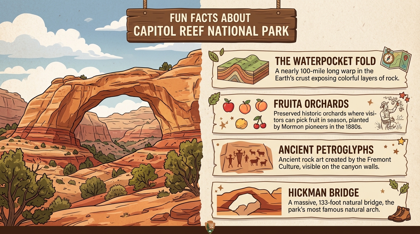
When travelers plan a trip to Utah’s red rock country, they often rush straight to Zion or Bryce Canyon and completely miss the hidden wonders tucked away in the center of the state. Capitol Reef National Park rewards slow exploration, offering travelers a fascinating mix of quirky geological features, ancient human history, and old pioneer orchards. Understanding what makes this destination unique requires looking beyond standard travel guides and exploring the quirky details that shape the landscape. Learning about these elements helps travelers appreciate why fun facts about Capitol Reef National Park reveal a story unlike any other protected desert area in the American Southwest.
What Makes the Waterpocket Fold So Special
The Waterpocket Fold is a nearly one-hundred-mile-long wrinkle in the earth that created a massive natural barrier.
This massive geological structure is technically known as a monocline, which is a step-like fold in rock layers that forces flat-lying strata to bend sharply upward. Millions of years of pressure deep inside the earth formed this giant warp, and subsequent wind and water erosion carved deep canyons, colorful cliffs, and smooth domes into the stone. Early explorers and travelers found this rocky barrier nearly impossible to cross, which explains why the region remained isolated for so long. The Waterpocket Fold gets its unusual name from small rock pockets and hollows that catch and hold rainwater and melted snow, providing rare natural drinking pools in an otherwise dry desert environment.
Fun Facts About Capitol Reef National Park and the Fruita Orchards
Early pioneers planted thousands of fruit trees in the Fruita district, and visitors can still pick and eat the fruit today.
Mormon pioneers settled in the narrow valley along the Fremont River in the late nineteenth century, naming their community Fruita because of the thriving orchards they planted. At one point, the settlement grew apples, peaches, pears, cherries, and apricots, turning a harsh desert canyon into a lush oasis of cultivated agriculture. Today, the National Park Service manages these historic orchards, allowing visitors to walk beneath the branches and harvest fresh fruit for a small fee when the crops are ripe. This living piece of history sits right in the middle of a rugged desert park, creating a strange and wonderful contrast between wild wilderness and cultivated farmland. Travelers looking to broaden their outdoor knowledge can also explore broader topics, much like discovering national park trivia found in articles covering fascinating facts and fun national park trivia for curious explorers.
Surprising History Behind the Park Name
The name comes from white dome rocks that look like the United States Capitol building and a dangerous ocean reef barrier.
The first part of the name comes from bright white Navajo sandstone domes near the Fremont River that reminded early settlers of the United States Capitol building in Washington. The second part of the name comes from the word reef, which nautical sailors used to describe any dangerous underground barrier that blocked ships at sea. Because the towering cliffs of the Waterpocket Fold blocked land travel just as effectively as an ocean reef blocked ships, pioneers combined the two concepts into Capitol Reef. This unusual pairing creates a humorous mental image of a landlocked desert canyon named after an ocean hazard and a government building.
Rock Art and Ancient Peoples of Capitol Reef
Ancient Fremont culture people left behind clear rock carvings and drawings on the canyon walls hundreds of years ago.
Long before pioneers arrived with their fruit trees, Native American groups lived along the fertile river bottoms of the canyon, gathering seeds, hunting game, and growing crops. The Fremont culture flourished in this region between roughly six hundred and thirteen hundred years ago, leaving behind remarkable petroglyphs and pictographs pecked and painted directly onto the canyon walls. These ancient panels feature geometric shapes, animal figures, and human-like forms with trapezoidal bodies that remain remarkably clear today. Visitors can easily view several of these rock art panels from accessible boardwalks near the main park road, offering a quiet connection to the people who called this desert home centuries ago.
Practical Things to Know Before Visiting Capitol Reef National Park
Visitors must watch out for flash floods, unpaved remote roads, and a lack of cell service according to the National Park Service.
While exploring the park is an unforgettable experience, the remote desert environment presents real challenges that require careful preparation and caution. Narrow slot canyons and dry washes can flood rapidly during distant summer rainstorms, making flash floods a serious hazard for hikers who do not check weather forecasts. Furthermore, reaching remote areas like the Cathedral District requires driving on rough, unpaved dirt roads that demand high-clearance vehicles and careful attention to tire conditions. Cell phone service is practically nonexistent across most of the park, meaning visitors should download offline maps and carry plenty of drinking water before heading out.

I’m Muhammad Ubaid, founder of YBR Magazine. I research and write detailed guides on America’s National Parks — covering entry fees, permits, best times to visit, and planning tips — using official NPS sources and up-to-date information.

