

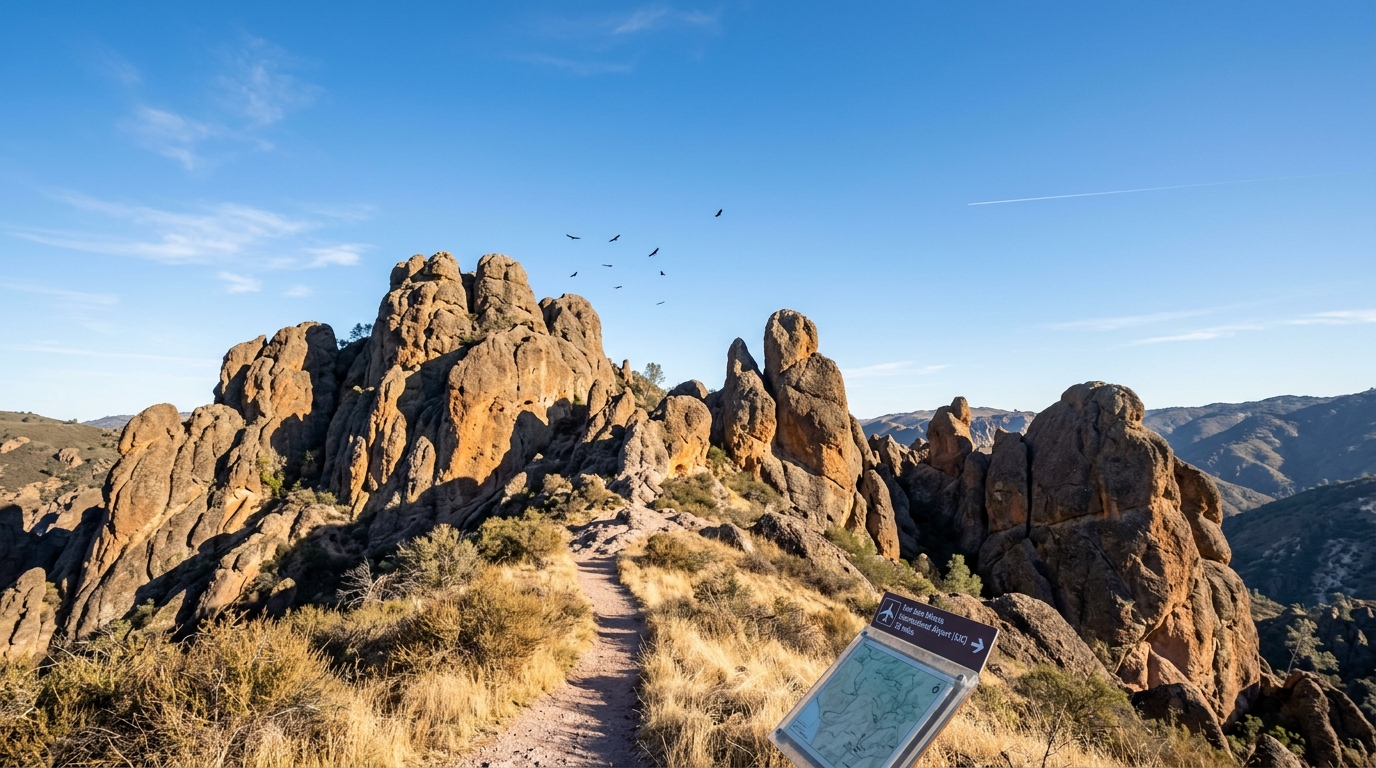
Pinnacles National Park sits in a remote, rural valley of central California with no major metropolitan airport right at its borders. Because the landscape features winding two-lane rural roads and steep regional terrain, picking the right airfield requires careful logistical planning rather than just checking straight-line distance on a map. Visitors must weigh the convenience of a small nearby airfield against the reliable flight schedules and lower ticket prices of major international hubs.
The Short Answer: Which Airports Are Near Pinnacles National Park
Choosing the closest airport to Pinnacles National Park depends entirely on whether you prioritize shorter driving distance or cheaper, more frequent flight options.
Travelers face a choice between small regional airfields that sit closer to the park boundaries and massive international hubs that require a longer drive on California highways. Because public transit does not reach the park gates, your flight choice must pair directly with a rental car reservation.
Monterey Regional Airport: The Closest Option
Monterey Regional Airport serves as the physically closest commercial airfield to Pinnacles National Park, sitting roughly forty-five miles away from the western entrance.
Monterey Regional Airport handles a limited number of daily flights connected to major western hubs like San Francisco, Los Angeles, and Phoenix. Flying into this regional airfield cuts down your time behind the wheel significantly once you retrieve your luggage.
However, this proximity comes with notable downsides that every traveler should factor into their schedule. Ticket prices tend to be higher because fewer commercial carriers service the facility. Flight delays can also disrupt your plans more severely here, as airlines have fewer backup aircraft and alternative flights available. Car rental choices are much more limited compared to massive city airports, making advance reservations a strict necessity.
San Jose International Airport and San Francisco International Airport: The Practical Choices
San Jose International Airport and San Francisco International Airport provide the most dependable flight choices and flexible itineraries for travelers.
San Jose International Airport sits about eighty miles north of the park, translating to a drive of roughly one and a half to two hours depending on local highway conditions. San Francisco International Airport sits further north, usually requiring a drive of two hours to two and a half hours.
These two major hubs give visitors access to dozens of daily flight paths, competitive ticket pricing, and massive car rental fleets that rarely run out of vehicles. If your incoming flight gets canceled, airlines have multiple backup options to get you to the Bay Area on the same day. The primary drawback of these airports is navigating heavy California commuter traffic as you depart the metropolitan area during morning and evening rush hours.
Fresno Yosemite International Airport: The Alternative Eastern Approach
Fresno Yosemite International Airport offers a practical alternative for travelers arriving from the south or east who want to approach the park from the inland side.
Fresno Yosemite International Airport sits approximately one hundred and twenty miles away from the park gates. The journey takes you across the wide agricultural expanse of California’s Central Valley before transitioning onto smaller rural highways.
This southern approach works well if your vacation itinerary also includes other central California destinations. Fresno Yosemite International Airport shares some of the same regional limitations as Monterey, including fewer direct flight paths and higher average ticket costs. You will also face a much longer straight-line driving distance to reach either park entrance from Fresno than you would from the coastal airports.
Matching Your Airport to the East or West Park Entrance
Choosing your airport route requires understanding that Pinnacles National Park features two entirely separate visitor entrances on the east and west sides that do not connect to each other by any interior road.
Driving between the two sides requires exiting the park boundaries and traveling around the outer perimeter on rural roads. Your choice of landing spot should align directly with which side of the park you plan to explore first. Monterey Regional Airport works exceptionally well if you head straight to the West Entrance, while northern hubs like San Jose offer smooth access to the more developed East Entrance facilities.
Car Rentals and Practical Travel Tips for Your Trip
Securing a reliable rental car is the single most important logistical step for your trip because public transit does not reach Pinnacles National Park.
Visitors must prepare for rural driving conditions, limited cell phone service near the park boundaries, and high summer temperatures that require carrying plenty of drinking water. According to the National Park Service, visitors should also check current weather alerts and seasonal trail closures before setting out on any long hike.
For outdoor enthusiasts looking to explore other rugged landscapes across the country, proper planning is just as vital as it is in California. Similar remote adventures require careful mapping, just like finding the closest airport to Lassen Volcanic National Park for your trip before you book your flights and hit the open road.
Frequently Asked Questions
What is the closest airport to Pinnacles National Park?
Monterey Regional Airport is the physically closest commercial airport, sitting about forty-five miles from the park’s western entrance.
Why do most people fly into San Jose or San Francisco instead?
San Jose and San Francisco offer cheaper flights, more airline choices, and better car rental availability despite the longer drive to the park.
Can I take public transportation from the airport to Pinnacles National Park?
No public transit system runs to Pinnacles National Park, meaning you must rent a car to reach the park.
How long is the drive from San Jose International Airport to the park?
The drive from San Jose International Airport typically takes between one and a half to two hours depending on traffic conditions.
Can I drive between the East and West entrances inside Pinnacles National Park?
No roads connect the East and West entrances within the park, so you must drive around the outside if you want to switch sides.
Do smaller regional airports have good car rental options?
Smaller airports like Monterey have limited rental fleets, so travelers must book their vehicles well in advance to avoid problems.
Disclaimer: Travel times, flight schedules, and park rules can change. Always verify current conditions and official details from official sources before your trip.

I’m Muhammad Ubaid, founder of YBR Magazine. I research and write detailed guides on America’s National Parks — covering entry fees, permits, best times to visit, and planning tips — using official NPS sources and up-to-date information.

